
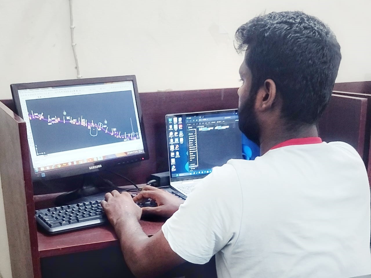
Advanced Survey Design Using Modern Software Tools
We specialize in high-precision survey design and analysis using industry-standard software to deliver accurate, efficient, and project-ready outputs for land development, engineering, and infrastructure projects.
Software We Use
- ArcGIS / QGIS
- AutoCAD & AutoCAD Civil 3D
- Google Earth Pro
- Global Mapper
- Surfer
- Surveying Engineering Support
Surveying Engineering Support
At Unique Digital Survey & Mapping, we provide comprehensive Surveying Engineering Support for land development, infrastructure, construction, and planning projects. Our team of experts combines field data collection with advanced software analysis to ensure precise design, alignment, and execution for any scale of project.
What We Offer in Surveying Engineering Support
1. Pre-Construction Survey Services
- Topographic & contour survey
- Boundary and land demarcation
- Route alignment survey (road, rail, canal, utility lines)
- Elevation, slope, and site grading analysis
- Feasibility survey for site selection
2. Engineering Design Support
- Plot layout planning (residential/industrial)
- Road profile, cross-section & alignment design
- Drainage & utility mapping
- Bridge, culvert, and flyover layout support
- Digital terrain modeling (DTM/DSM)
3. Construction Layout & Marking
- Foundation and column marking
- Centerline and offset layout for structures
- Level benchmarking
- Flyover and railway structure marking
- Cut and fill calculations
4. Post-Construction & Monitoring
- As-built survey and verification
- Progress tracking and quantity estimation
- Monitoring settlement or deformation
- Final site layout and volume report submission
Tools & Technology We Use
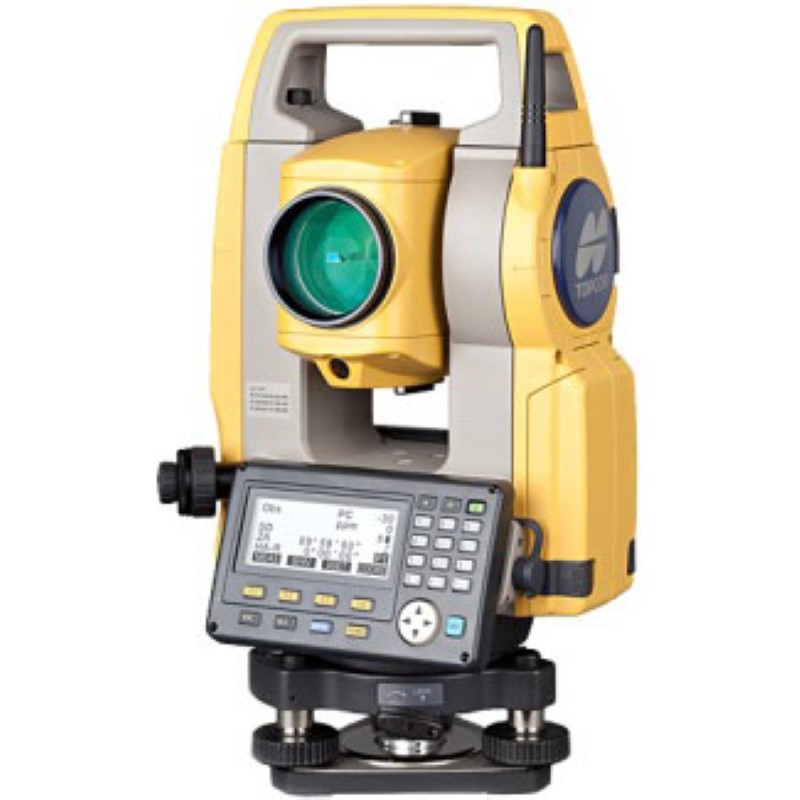
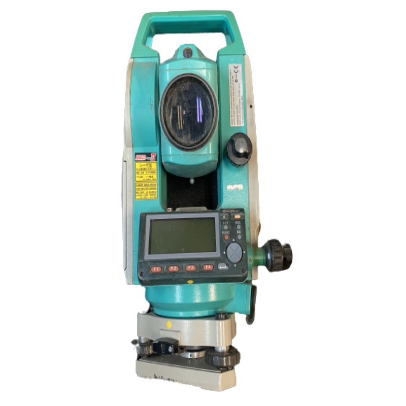
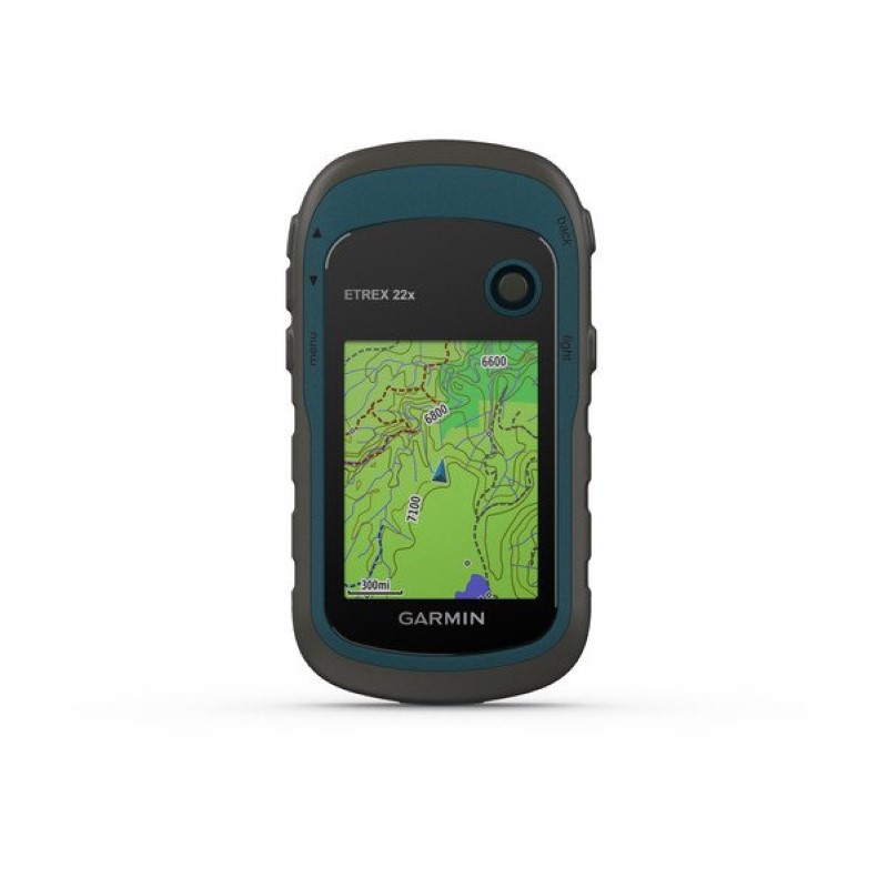
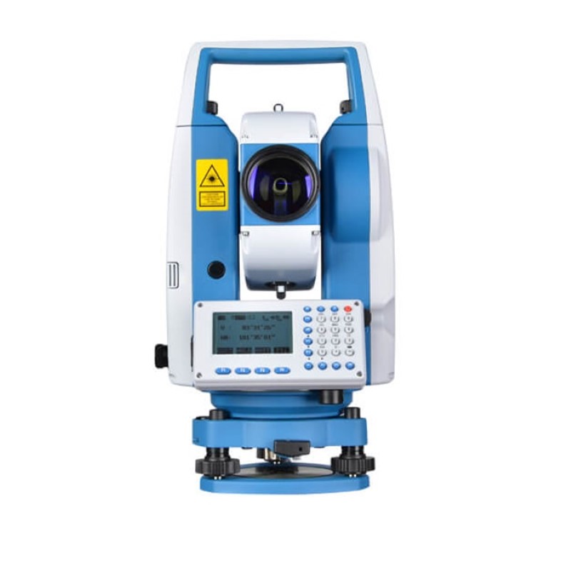
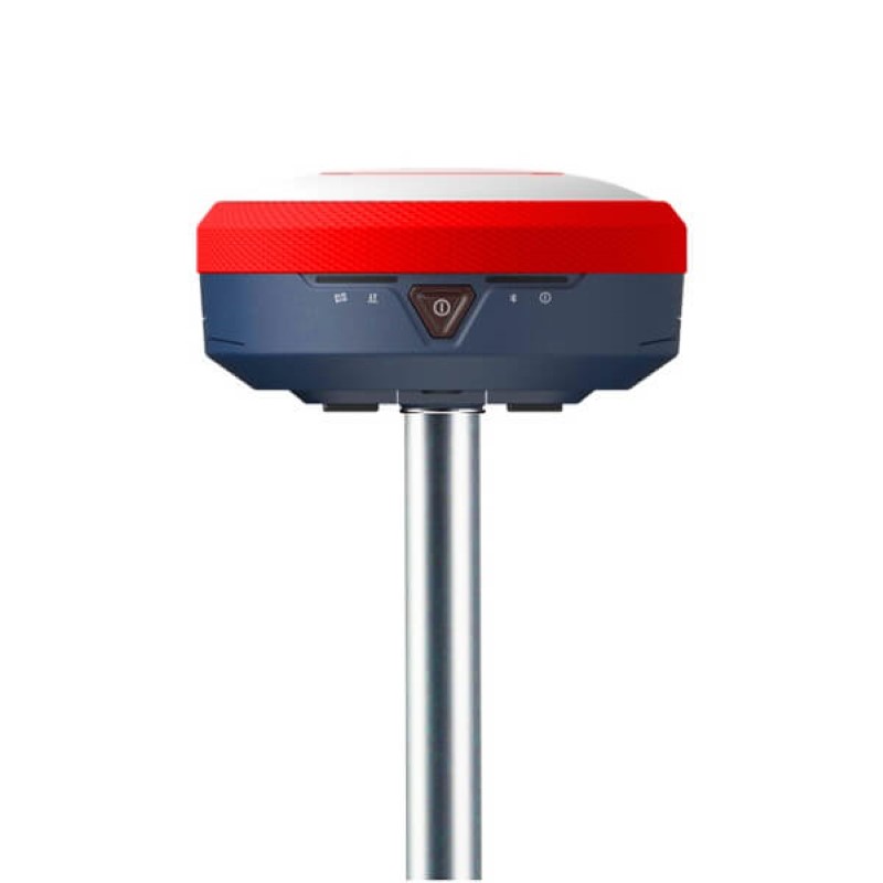
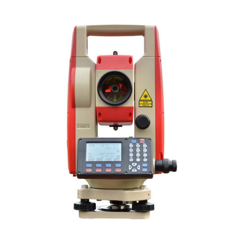
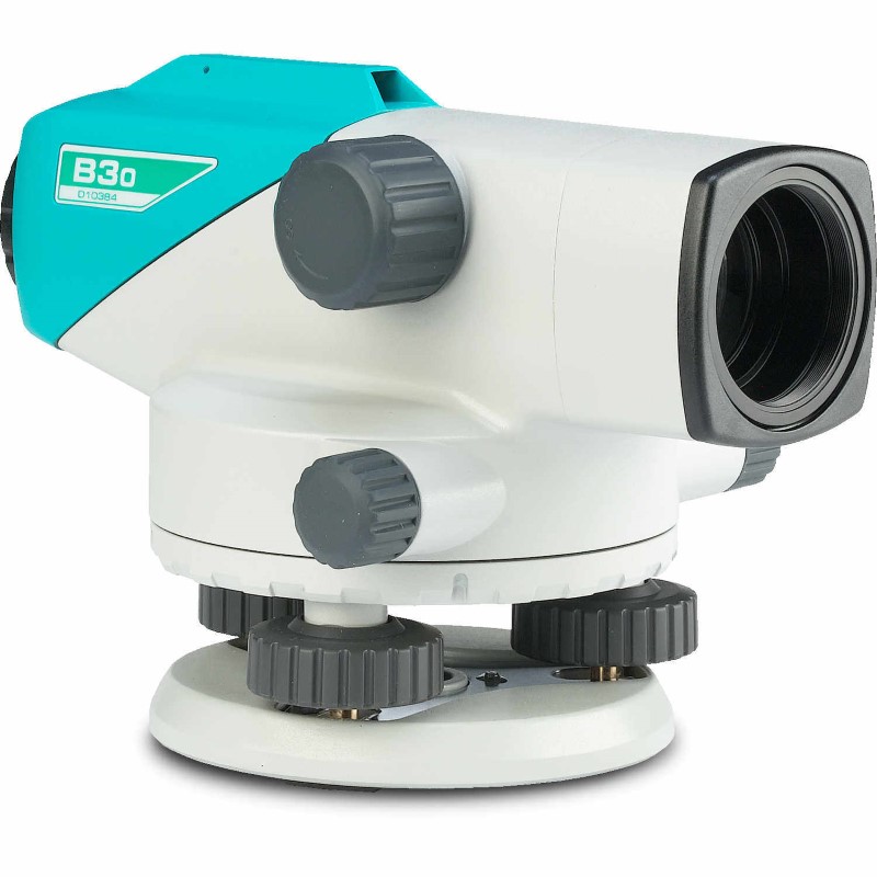
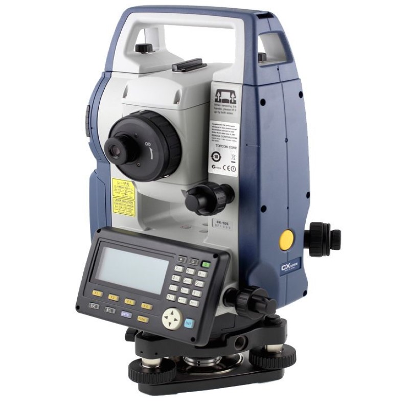
- Total Station, RTK GNSS, Auto Level
- Drone/UAV Survey & Photogrammetry
- AutoCAD, Civil 3D, Surfer, ArcGIS, Global Mapper
- KMZ/KML file generation for Google Earth
- Contour, DTM, and 3D Mapping Software
Applications of Our Services
- Road, bridge, and flyover projects
- Land development and plotting
- Drainage and utility infrastructure
- River, canal, and lake surveys
- Public works and government tenders (LGED, WASA, BWD, etc.)
Our Equipment
 Lets talk
Have an upcoming project?
Dhaka office
Mirpur -10,
Dhaka, Bangladesh
Have an upcoming project
Let our expertise in digital surveying and advanced software solutions drive your project to success with precision and efficiency.