
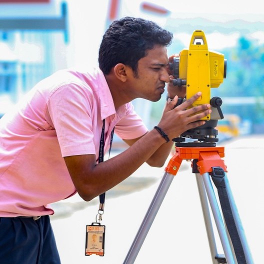
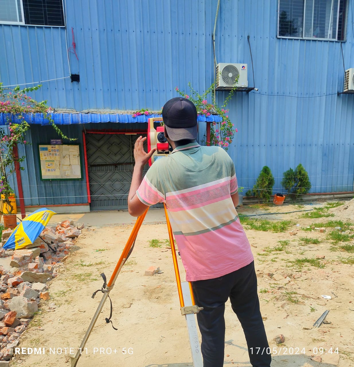
 Land Surveyor
 About US
Constructing Your Future: Reliable Digital Survey Services
At Unique Digital Survey & Mapping, we believe that every great construction begins with accurate ground data. Our Digital Surveying Solutions combine precision, speed, and technology to deliver highly reliable survey data that fuels successful infrastructure and land development projects. We help you build with confidence, based on real-world, real-time measurements.
- 3D Land Survey
- 3D City Mapping
- Topographic Survey
 What We Do
Our Services
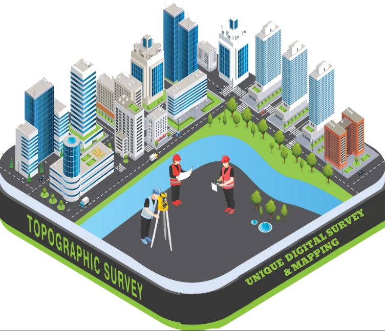
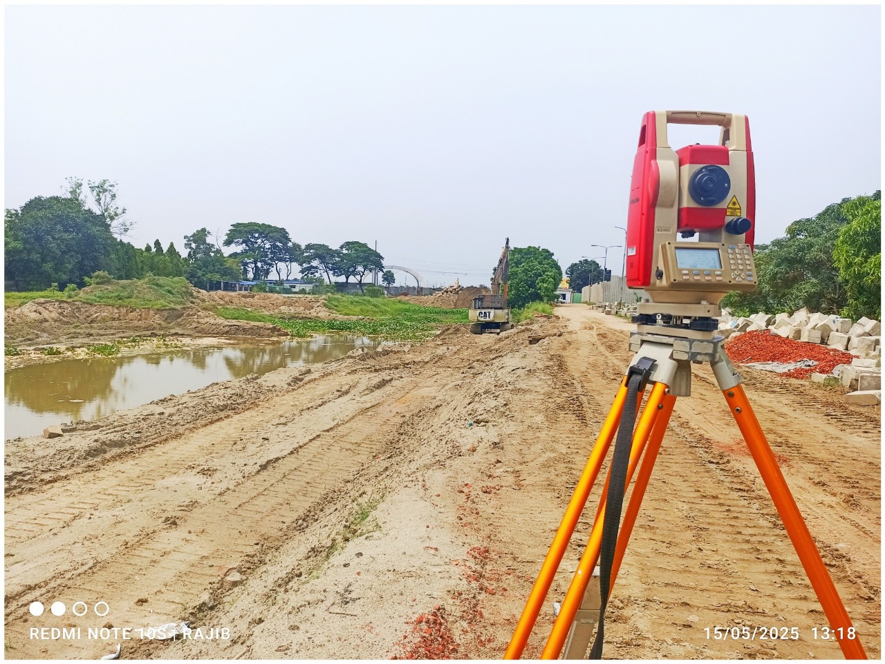
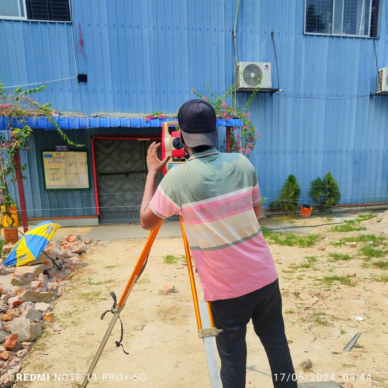
A Topographic Survey is an essential land surveying method used to determine and represent the natural and man-made features of a land surface.
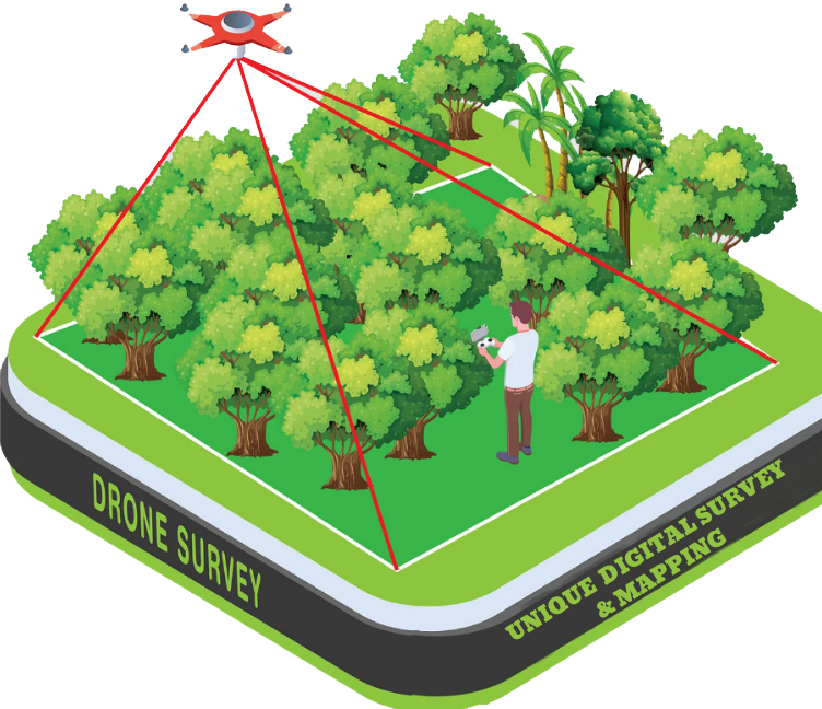
A Drone Survey is a modern surveying method that uses Unmanned Aerial Vehicles (UAVs
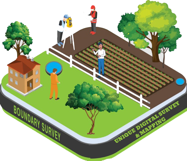
A Boundary Survey is a land surveying process used to identify and mark the exact legal boundaries of a piece of land
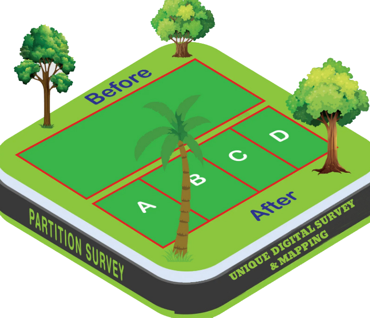
A Partition Survey is a specialized land survey conducted to divide a single land parcel into two or more separate plots

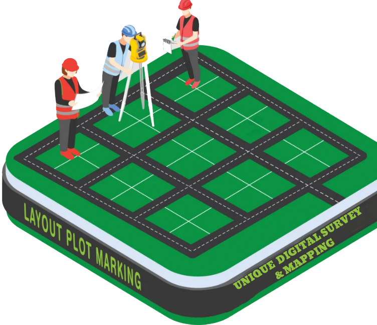
Layout Plot Marking is the process of physically marking the design or layout of a planned structure
Numbers Speak
Unique Digital Survey
build on real, accurate data.
From land to layout, we turn your project visions into mapped, measurable reality.
Projects
Latest completed projects
 Why Choose Us
Why you should choose
Unique Digital Survey & Mapping.
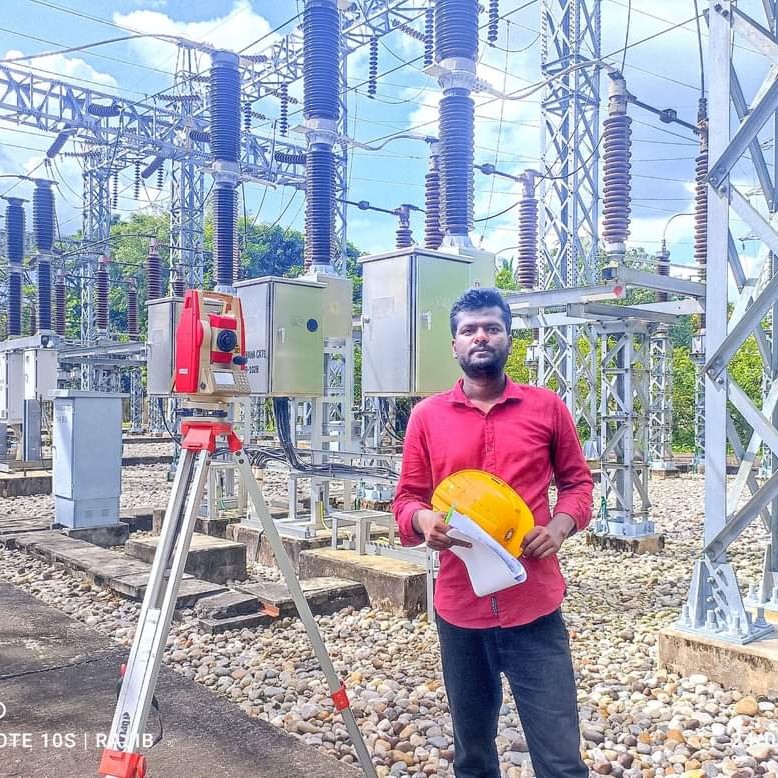
A team of 20+ skilled engineers and survey technicians
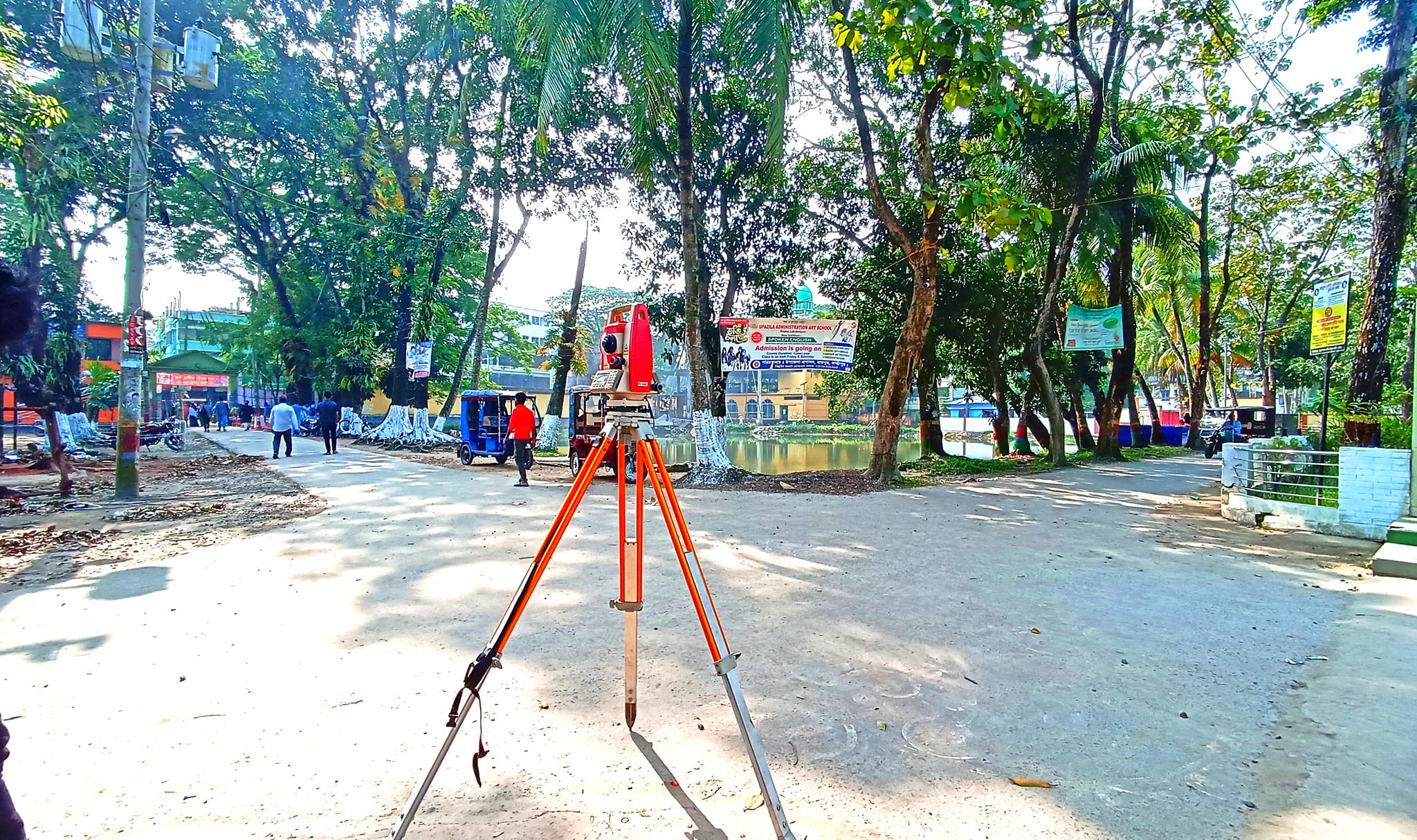
Use of cutting-edge equipment and software (Total Station, RTK, Drone, AutoCAD, Civil 3D, etc.)
Timely delivery and high accuracy
100% client satisfaction is our priority
Modern tools and equipments
Proven experience in both government and private sector projects
Working skill
Client rating
5.00 Average Based On 50 Rating
Testimonials
Our clients reviews.

Excellent service from start to finish! Accurate survey, fast delivery, and professional team. Highly recommended for any land or construction survey project in Bangladesh.

Very satisfied with the RTK and drone survey. Their team is skilled, responsive, and delivered detailed maps on time. Will definitely work with them again for future projects.
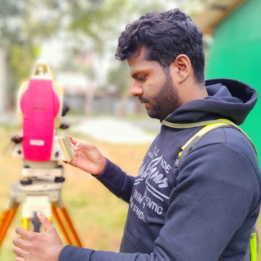
 Team Members
Expert team members.

 Lets talk
Have an upcoming project?
Dhaka office
Mirpur -10,
Dhaka, Bangladesh
Work With Us !
Have any upcoming project
Leverage agile frameworks to provide a robust synopsis for high level overviews.
Iterative approaches to corporate strategy foster collaborative thinking