 What We Do
Our Services
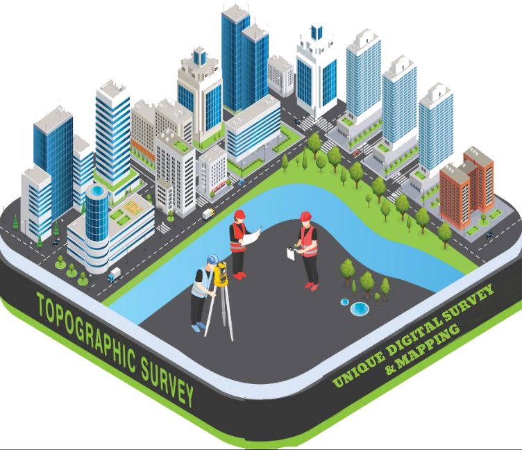
A Topographic Survey is an essential land surveying method used to determine and represent the natural and man-made features of a land surface.
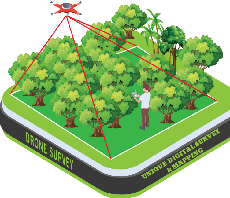
A Drone Survey is a modern surveying method that uses Unmanned Aerial Vehicles (UAVs
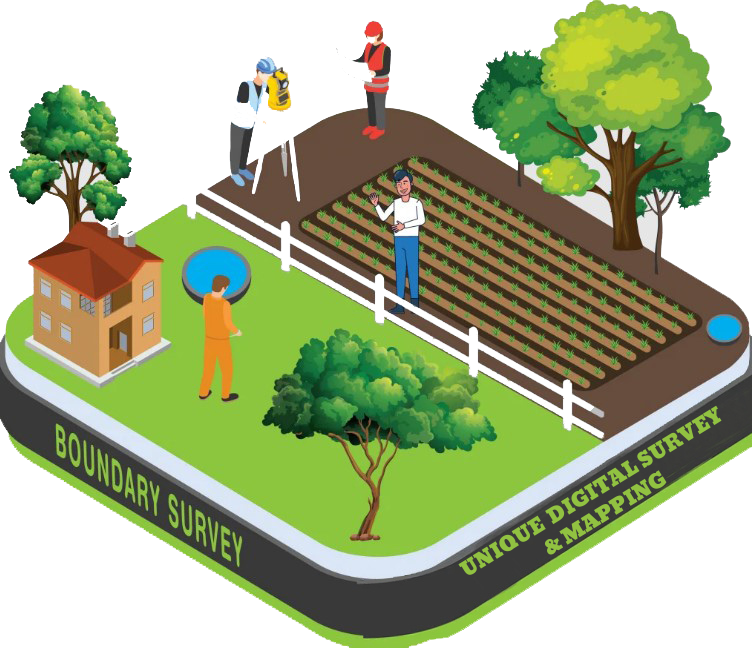
A Boundary Survey is a land surveying process used to identify and mark the exact legal boundaries of a piece of land
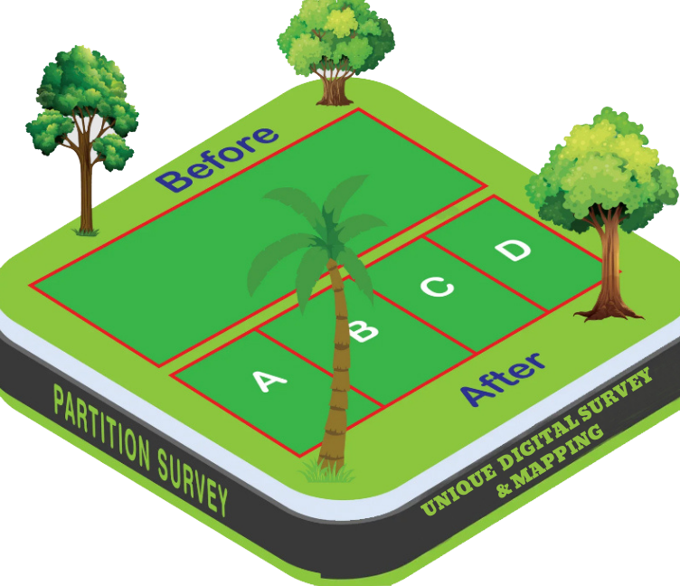
A Partition Survey is a specialized land survey conducted to divide a single land parcel into two or more separate plots

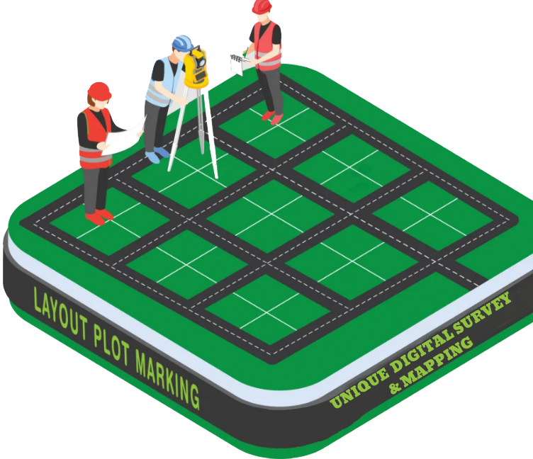
Layout Plot Marking is the process of physically marking the design or layout of a planned structure
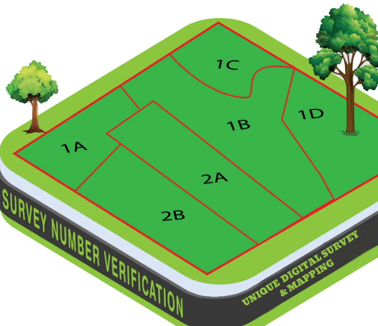
Mouza Dag Number Verification is the process of checking and confirming the authenticity and ownership details of a specific Dag (plot) number
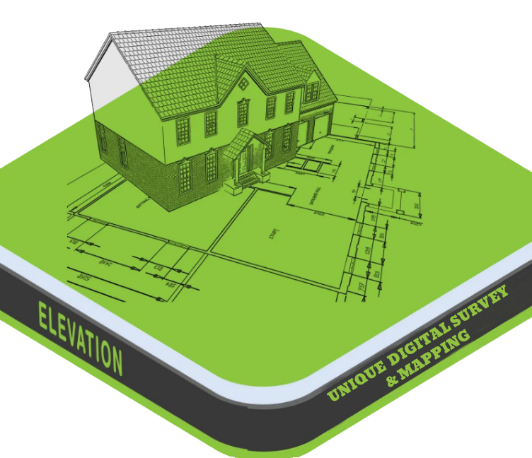
An Elevation Survey is a type of land survey that measures and records the vertical height (elevation) of specific points
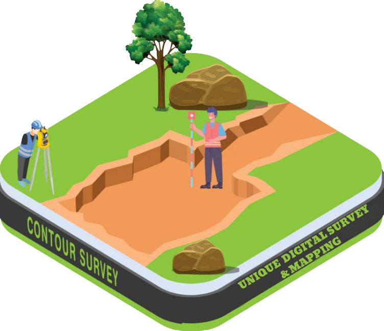
A Contour Survey is a type of land survey that maps the elevation and slope of a land surface by drawing contour lines
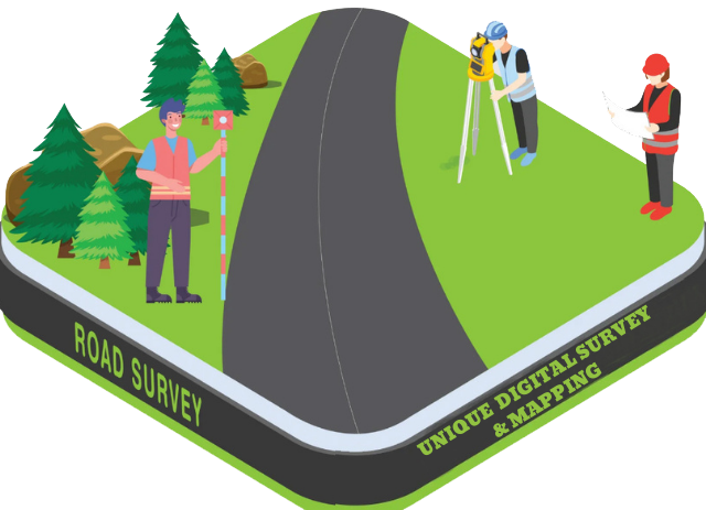
A Road Survey is a detailed engineering survey conducted to plan, design, construct, or improve a road or highway
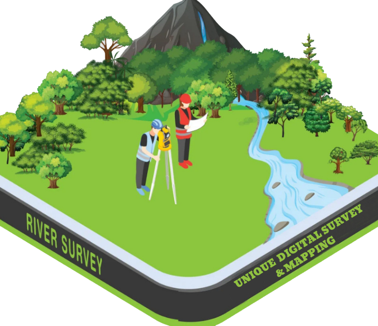
A River Survey is a specialized type of hydrographic and topographic survey conducted to collect detailed information about a river’s physical features,
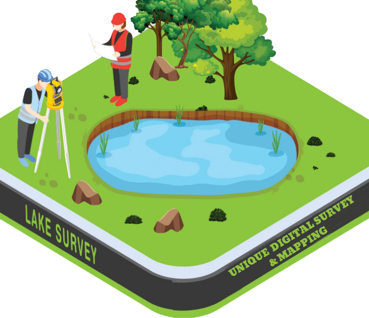
A Lake Survey is a detailed survey carried out to measure and map the physical, topographic,
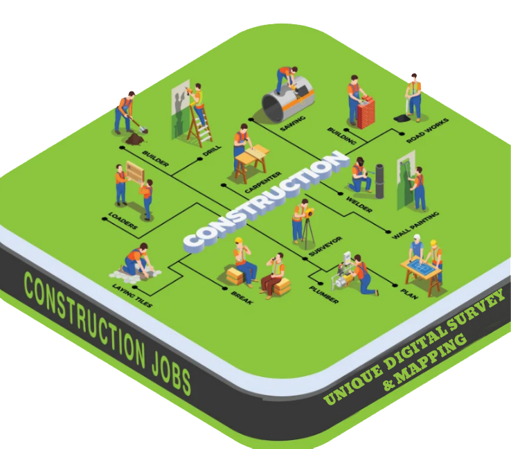
A Construction Survey is a type of land survey performed to guide and support construction activities by accurately transferring the design
Cut and Fill Calculation is a civil engineering and land surveying process used to determine the volume of earth to be excavated (cut) or added (fill) to shape the land
A Railway is a mode of land transport that runs on steel tracks, designed for the movement of trains carrying passengers or goods.
Dhaka Office
Mirpur -10
Dhaka Bangladesh
Have an upcoming project?
xcepteur sint occaecat cupidatat non proident, sunt in coulpa qui official modeserunt mollit anim id est 20 years experience.