
RTK Survey
An RTK Survey (Real-Time Kinematic Survey) is an advanced GNSS (Global Navigation Satellite System)-based surveying technique that provides real-time, centimeter-level positioning accuracy. Unlike standard GPS, which has meter-level errors, RTK uses a fixed base station and a mobile rover to correct satellite signal errors instantly, making it highly accurate for land surveys, construction, and geospatial mapping.
Key Features of RTK Survey:
- ✅ Centimeter-level accuracy in real time
- ✅ Fast and efficient fieldwork
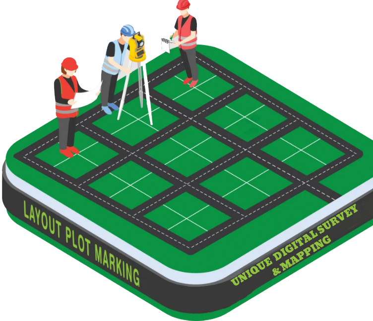
- ✅ Ideal for boundary marking, topographic mapping, and layout work
- ✅ Works in open areas with good satellite visibility
- ✅ Compatible with Total Station, GIS, and Drone Survey data
Components of RTK System:
- Base Station – Fixed on a known location, it sends correction data
- Rover Unit – Moves around and receives corrections for precise positioning
- Controller/Software – Collects and processes data in real-time
Applications of RTK Survey:
- Land subdivision and boundary demarcation
- Road and bridge alignment
- Construction staking
- Utility mapping
- Precision agriculture
- Digital Topographic & Volume Survey