
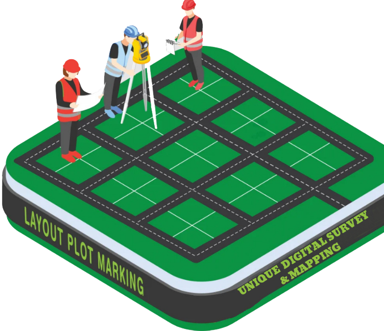
Layout Plot Marking
Layout Plot Marking is the process of physically marking the design or layout of a planned structure (such as a building, road, boundary wall, or utilities) on the ground, based on engineering or architectural drawings. It is one of the most critical steps in construction and land development, ensuring that every part of the project is built in the correct position, shape, and size as per the approved design.
Purpose of Layout Plot Marking:
- ✅ To translate design drawings into real ground positions
- ✅ To ensure accurate placement of structures (e.g., foundation, columns, roads)
- ✅ To avoid errors or misalignments during construction
- ✅ To follow government or project specifications
- ✅ To guide excavation, construction, and development teams
What is Included in Layout Marking?
- Marking of property boundaries
- Placement of building corners and centerlines
- Levels and elevation references
- Marking roads, drains, utility lines, etc.
- Use of pegs, lime powder, nails, or paint for ground marking
- Verification using Total Station, RTK GPS, or Theodolite
Where is Layout Marking Used?
- Residential or commercial building projects
- Road and bridge construction
- Industrial site development
- Plot subdivision and town planning
- Utilities and drainage system layout