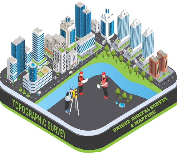
Topographic Survey
A Topographic Survey is an essential land surveying method used to determine and represent the natural and man-made features of a land surface — such as elevations, depressions, rivers, roads, buildings, vegetation, drains, and more — on a map.
Purpose of a Topographic Survey:
- To determine land elevations, slopes, and terrain shapes
- For initial planning of construction projects like buildings, roads, bridges, etc.
- To understand the natural and existing conditions of the land
What Information is Collected in a Topographic Survey?
- Elevation and depression of land
- Contour lines representing terrain levels
- Roads, ponds, rivers, drains, electric lines, etc.
- Trees, vegetation, or forests
- Location and boundaries of existing buildings
- Any existing infrastructure

