
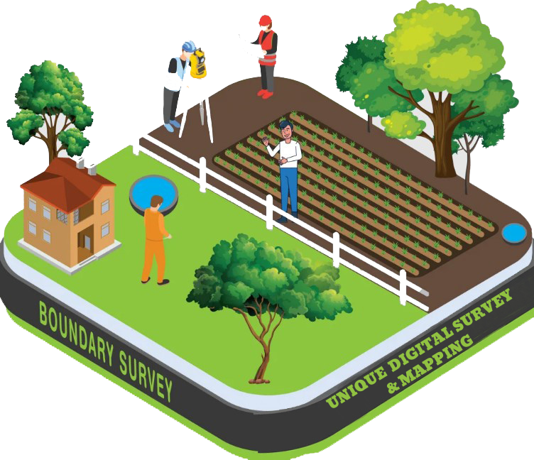
Boundary Survey
A Boundary Survey is a land surveying process used to identify and mark the exact legal boundaries of a piece of land. It ensures the landowner knows the precise location, dimensions, and corners of their property based on legal documents like the deed or title. This type of survey is essential before buying, selling, fencing, constructing, or subdividing land.
Purpose of a Boundary Survey:
- ✅ To determine legal property lines
- ✅ To locate boundary corners and monuments
- ✅ To resolve land disputes
- ✅ To prepare land for sale or development
- ✅ To create or update property maps
What Does a Boundary Survey Include?
- Field inspection and measurement of the land
- Analysis of deeds, maps, and land records
- Marking property corners with posts or markers
- Preparation of a boundary survey map or drawing
- Reporting any encroachments (e.g., fences, walls crossing boundaries)
When is a Boundary Survey Needed?
- Buying or selling land
- Before fencing or building on a property
- During disputes over land ownership
- Land division or inheritance
- Applying for building permits or land development