
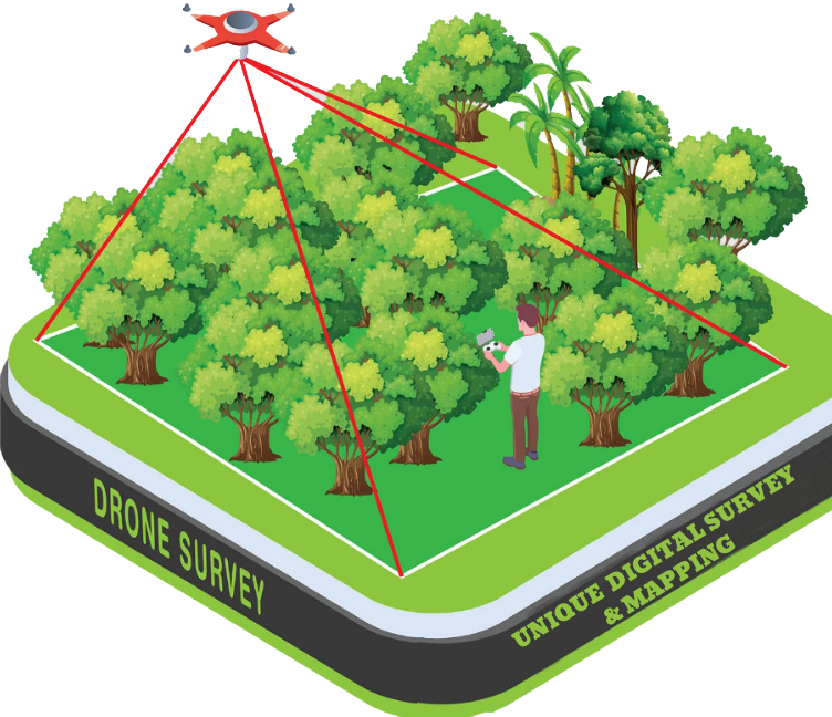
Drone Survey
A Drone Survey is a modern surveying method that uses Unmanned Aerial Vehicles (UAVs) — commonly known as drones — equipped with high-resolution cameras, LiDAR, or other sensors to capture aerial data of the land surface. This data is then processed to create accurate maps, 3D models, contours, orthophotos, DTM/DSM, and other geospatial outputs used for planning, monitoring, and analysis.
Key Features of a Drone Survey:
- High Accuracy: Captures centimeter-level data
- Fast Data Collection: Surveys large areas in a short time
- Cost-Effective: Reduces manpower and time
- Safe: Ideal for inaccessible or hazardous areas
- Versatile Applications: Suitable for land development, agriculture, mining, construction, etc.
Outputs of a Drone Survey:
- Orthophoto Maps (Geo-referenced Images)
- 3D Terrain Models (DTM/DSM)
- Contour Maps
- Point Clouds
- Volume Calculations (for stockpiles or earthworks)
- Change Detection & Monitoring