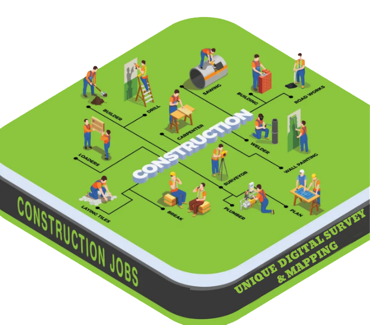
Construction Survey
A Construction Survey is a type of land survey performed to guide and support construction activities by accurately transferring the design and layout from engineering drawings to the ground. It ensures that buildings, roads, bridges, pipelines, and other infrastructure are constructed in the correct location, level, alignment, and dimensions as per the approved plan.
Purpose of a Construction Survey:
- ✅ To mark reference points and layout lines for construction
- ✅ To ensure precise positioning of structures on-site
- ✅ To check elevations, slopes, and alignments during construction
- ✅ To avoid construction errors, rework, or disputes
- ✅ To assist in monitoring progress and post-construction verification
What Does a Construction Survey Include?
- Layout marking of foundations, columns, walls, roads, utilities, etc.
- Leveling and benchmarking for accurate elevation control
- Staking out centerlines, offsets, and excavation limits
- As-built survey (after construction) to confirm design compliance
- Verification of distances, angles, and grades
Where is Construction Survey Used?
- Building construction (residential, commercial, industrial)
- Road and highway construction
- Bridges, culverts, flyovers
- Utility lines (water, gas, electric)
- Land development and site preparation

