
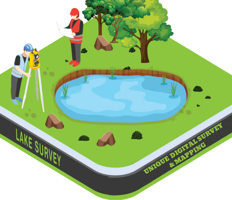
Lake Survey
A Lake Survey is a detailed survey carried out to measure and map the physical, topographic, and bathymetric (underwater) features of a lake and its surrounding area. The goal is to collect accurate data about the lake's shape, depth, volume, shoreline, and sediment condition, which is useful for water resource management, ecological study, dredging, development, and conservation planning.
Purpose of a Lake Survey:
- ✅ To measure the depth, area, and volume of the lake
- ✅ To create a bathymetric map (underwater contour map)
- ✅ To monitor sediment deposition and water level changes
- ✅ For planning dredging, cleaning, and restoration projects
- ✅ To support irrigation, fisheries, tourism, or urban development
What Does a Lake Survey Include?
- Surface area and shoreline boundary mapping
- Water depth (soundings) at multiple points
- Bottom profile and sediment levels
- Water level and seasonal fluctuation data
- Surrounding land topography and inflow/outflow channels
- Estimation of storage capacity and siltation volume