
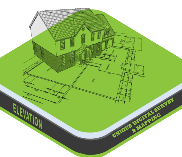
Elevation Survey
An Elevation Survey is a type of land survey that measures and records the vertical height (elevation) of specific points on the land surface relative to a fixed reference point (usually sea level or a known benchmark). It is used to understand the highs and lows of the terrain, which is essential for site grading, drainage design, construction planning, and flood risk assessment.
Purpose of an Elevation Survey:
- ✅ To determine the topography (ups and downs) of the land
- ✅ For designing drainage systems, roads, and buildings
- ✅ To prevent water logging and flooding
- ✅ For cutting and filling calculations
- ✅ To create Contour Maps, DTM (Digital Terrain Model), and 3D surfaces
What Data is Collected in an Elevation Survey?
- Height (elevation) of multiple ground points
- Relative slope and terrain shape
- Benchmarks and reference levels
- Spot heights and contour intervals
- Natural and man-made features affecting elevation