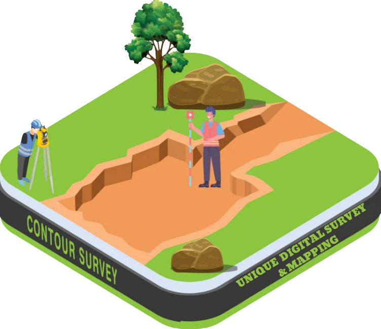
Contour Survey
A Contour Survey is a type of land survey that maps the elevation and slope of a land surface by drawing contour lines — lines that connect points of equal elevation. These lines show the shape, gradient, and undulation of the terrain, helping planners and engineers understand how the land rises and falls. Contour surveys are essential for engineering design, drainage planning, construction, landscaping, and earthwork estimation.
Purpose of a Contour Survey:
- ✅ To understand the slope and shape of the land
- ✅ To design roads, buildings, and drainage systems properly
- ✅ For cut and fill calculations in earthworks
- ✅ To prevent water logging or soil erosion
- ✅ To assist in site selection and land development
What Does a Contour Survey Include?
- Elevation data of multiple points
- Creation of Contour Lines at fixed intervals (e.g., every 0.5m or 1m)
- Identification of peaks, valleys, ridges, and depressions
- Contour maps showing terrain features
- Integration with topographic maps and 3D terrain models

