
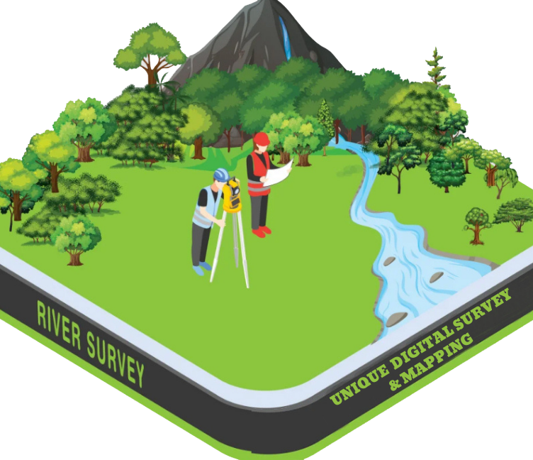
River Survey
A River Survey is a specialized type of hydrographic and topographic survey conducted to collect detailed information about a river’s physical features, flow characteristics, bed profile, and surrounding floodplain. It is essential for river management, flood control, embankment design, dredging, irrigation planning, and bridge or infrastructure development.
Purpose of a River Survey:
- ✅ To measure the width, depth, and slope of the river
- ✅ To monitor erosion, sedimentation, and riverbed changes
- ✅ For flood risk analysis and embankment or dam planning
- ✅ To design bridges, culverts, and river training works
- ✅ To support dredging, navigation, and water resource planning
What is Included in a River Survey?
- Cross-sectional profiles at regular intervals
- Longitudinal profile of the riverbed
- Water level and flow direction
- Riverbank mapping and erosion zones
- Soundings (depth measurements) using echo-sounder or pole
- Topography of adjacent floodplain areas