
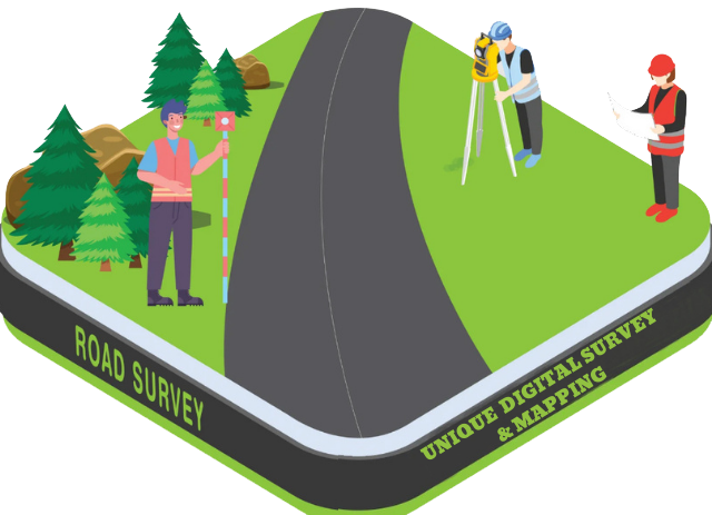
Road Survey
A Road Survey is a detailed engineering survey conducted to plan, design, construct, or improve a road or highway. It involves collecting accurate horizontal and vertical data about the terrain, existing features, and alignment to help design the road layout, levels, drainage, and structures. It ensures that the road is built in the right location, with proper slope, elevation, and safety measures.
Purpose of a Road Survey:
- ✅ To select the best route/alignment for a road
- ✅ To measure elevations, slopes, and curves of the land
- ✅ To design carriageway width, shoulders, side drains, and other features
- ✅ To identify obstacles, utilities, and existing structures
- ✅ To prepare data for earthwork volume, cut & fill calculations, and road profiles
What Does a Road Survey Include?
- Centerline marking and alignment
- Topographic survey of the proposed road corridor
- Cross-section and longitudinal profile surveys
- Existing features mapping – trees, poles, drains, culverts, houses, etc.
- Elevation data for slope and drainage design
- Preparation of plan, profile, and cross-section drawings